Gallery

Land Survey
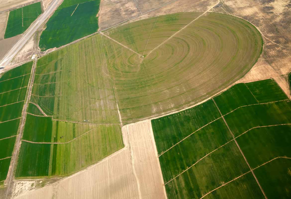
We work with state of the art fixed wing drone technology and we can find your land beacons, plan your farm, take aerial photographs, and provide maps and every detail of your layout.
With the data you receive from us, it becomes easy to know your low lying areas or indentations in your crop lands that have the possibility of water logging.
We provide topographical surveys making sure that you build in the correct place with regards to your civil costs, we assess your crops from the air, identifying problem areas to make sure that whatever you are planning is done in the most practical and cost efficient way possible.
With regards to survey we know all too well the need for water, especially on a farm that requires an intensive livestock unit, so we offer geologists that will do water surveys of your farm, with the equipment available we have a very good success rate of finding water for your operation, we also provide a service to oversee and manage your local drilling company while they are working on your land.
Quick Link

